
Sources for Lynn Neighbor Research
A block question is best treated as geography plus records, not as a directory of private people. Start with the map pin, street range, and cross streets. Then collect only the adjacent parcels or public landmarks needed to understand the block. The city assessor and Registry can add property context. Voter information has a defined public field set through the local custodian. Historic maps and directories can document a past block, but they do not say who is there today.
| Source | What it shows about a block | Access route |
|---|---|---|
| Lynn AxisGIS | Address pin, parcel outlines, map layers, zoning, and ownership context where displayed | Free city-linked viewer |
| Lynn Assessors data | Parcel identifier, location, land-use code, value, sale date, and book/page columns | City files and property portal |
| Southern Essex Registry | Recorded land instruments tied to a party, street search, date window, or book/page | Free index and image route |
| Lynn Elections | Only voter fields permitted by Massachusetts law and held by the local custodian | Local request and state guidance |
| Historic map and directory material | Earlier street layout, nearby structures, and dated publication context | Library, Archives, and map collections |
An assessor row may display a parcel owner, but that is not proof of every person connected with the address or of present-day presence. A Registry instrument proves that an instrument was recorded and should be read with its image and legal description. A public voter record is limited by statute and may be confidential. Lynn neighbor research should preserve those distinctions on every result.
Note: Save the map source, cross streets, source date, and public landmark before adding any record detail to a block note.
Pin a Lynn Block in AxisGIS
Lynn AxisGIS is the city-linked starting point for an address, parcel, zoning, and map-layer view. Search the address in the form accepted by the map, record the selected parcel ID and location, then use the surrounding parcel outlines and nearby intersections to define the small area under review. If the map uses a different street suffix or direction than another source, keep both spellings in the note rather than forcing one form.
The map data should be treated as a dated layer. The city reports that its ownership information refreshes weekly on Monday morning, so a source date matters. AxisGIS can establish the map position and parcel context, but it does not supply a current household list or prove a present occupant. The useful output is a geographic record: block or street, cross streets, parcel count, and any public landmark that helps a later search return to the same place.
When a street approaches an intersection, delivery geography can differ by side of the road. Massachusetts GIS road data includes ZIPL and ZIPR fields, and the USPS address tool checks delivery format. Neither system confirms that a named person is at an address. Use them to explain an address-form or ZIP transition, not identity.
Map a Lynn Block by Parcel
Follow a parcel-centered flow when looking at the immediate area around one Lynn address. It keeps the work tied to visible map features and avoids turning a block into an unsupported list. The assessor can supply the parcel facts, while the Registry can test a book/page or recorded instrument. For a full named-street record chain, use the Lynn street directory rather than expanding a block note beyond its purpose.
- Find the address in AxisGIS and write down the parcel ID, displayed location, cross streets, and map date.
- Select the immediately surrounding parcel outlines and record only their visible parcel identifiers and map positions.
- Check the assessor data for displayed location, land-use code, sale date, book/page, and any owner context the source makes public.
- Use the book/page or a carefully limited party or street search at the Registry to inspect a related recorded instrument.
- Keep owner, historical listing, map location, and voter access as separate evidence types in the final note.
The Lynn assessor property-data page links the FY2026 street list, property tools, and map resources used in this flow.
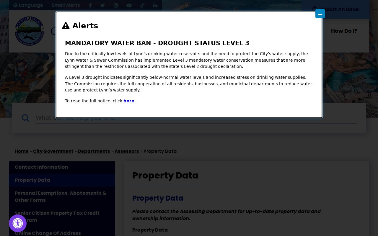
The linked assessor material is useful for its stated parcel fields and source-date notes. It is not a substitute for the Registry image when the question is about a recorded conveyance.
Lynn Neighbor Ward Context
Lynn's seven-ward structure is a defensible civic layer for a block. A ward map can place an address in public geography without exposing private contact details. It also avoids treating a postal ZIP or an informal area name as an official neighborhood boundary. Use the ward context alongside parcel lines, cross streets, and landmarks, and verify the city map version before relying on it.
| Seven wards | Use official city council ward maps as public geographic context, not as a list of people associated with an address. |
|---|---|
| Historic areas | State and city historical sources name Central Square, Diamond District, Lynn Common, Lynn Woods, Munroe Street, Brickyard, Glenmere, and Gold Fish Pond among their landscape units. |
| Postal geography | ZIP delivery areas and historic-area names are different systems. Neither should be used as a substitute for a ward or parcel boundary. |
| Association records | No official citywide neighborhood-association or HOA-style directory was located in the research, so no organization roster or contact list is inferred here. |
The Lynn zoning page is another address-keyed city resource that can add an official land-use layer to the parcel view.
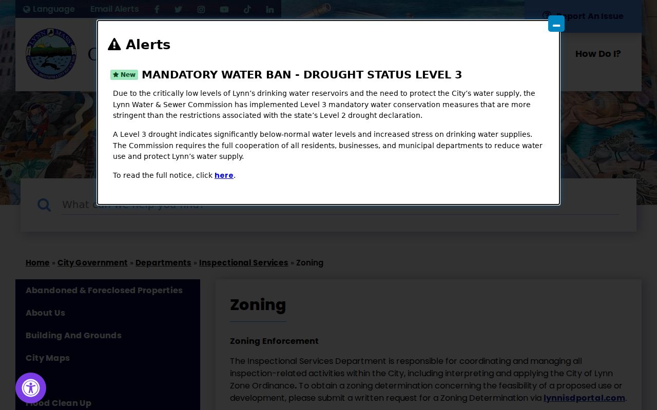
Zoning can describe the applicable district and map context. It does not identify residents, relationships, or who may be present at a location.
Named Areas, Not Lynn Rosters
Central Square, Diamond District, Lynn Common, Lynn Woods, Munroe Street, Brickyard, Glenmere, and Gold Fish Pond add useful historic vocabulary to a block search. They are names appearing in city and state historical material, not a fixed modern directory system. Pair one of these public anchors with cross streets or a public landmark when seeking a historical map, newspaper page, or museum reference.
The 1893 Lynn Sanborn set has 108 sheets and can show earlier building footprints and adjacent streets. It is a map key, not a resident source. A sheet number and cross streets are often more stable than a house number when numbering or spelling changed. The Library of Congress Sanborn item record provides the official collection entry point.
This civic layer has an important research gap: no official neighborhood-association directory was found for all of Lynn. The seven wards and the documented historic areas are therefore the appropriate public context. Do not replace that gap with a copied group roster, guessed affiliation, or relationship claim.
Voter Fields for Lynn Neighbors
Massachusetts defines public voter-list fields rather than providing a general public statewide lookup. Through the local custodian, the Secretary of the Commonwealth describes public fields that include name, address, party, date of birth, active or inactive status, and voter ID. Other information may be available by a request to the local custodian under the state rules. Phone, email, veteran status, permanent-absentee status, confidential records, and minors are excluded.
The Lynn Elections department is the city route for local election and annual-census information.
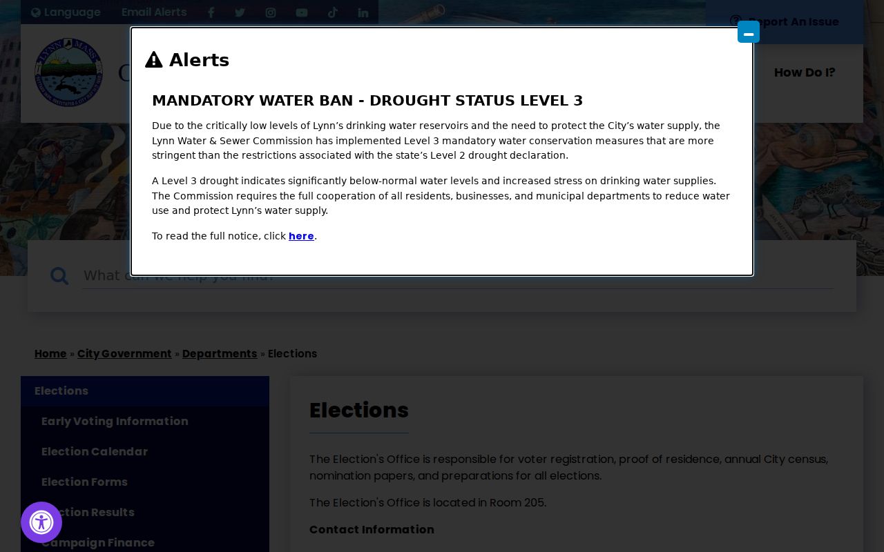
Ask the local custodian for permitted fields and the current production cost instead of assuming a web result exists. Confidential voter registration can keep a name and residence off public street-list and annual-register material when a qualifying rule applies. A missing entry should remain a missing entry.
Note: Voter access is a defined public-record route, not a basis for reconstructing a private household or sensitive contact data.
Compare Lynn Neighbor Sources
Official records and commercial neighbor-lookup tools serve different purposes. The official route identifies the custodian, the field set, the access date, and the record limit. Commercial tools may combine older and mixed-source entries, but their source date and correction path can be unclear. For a block question, the map, assessor, Registry, and local custodian give a more traceable route.
| Official block records | Commercial neighbor tools |
|---|---|
| Show a named custodian, defined records, and a documented access path. | May combine records from different dates or sources with unclear update timing. |
| Support a map, parcel, recorded-instrument, or permitted voter-field question. | Can suggest a lead but does not replace an official record or image. |
| Allow a correction, request, or clerk route when the source is incomplete. | May not show the original record, restriction, or exact source date. |
Use an official source for the point being checked. A parcel record can be verified against a Registry image, and a historical map can be paired with a dated directory or newspaper page. Do not promote a name match into a relationship or present-presence claim.
Match Lynn Neighbor Address Forms
The same doorway can appear in several record vocabularies. USPS may standardize a street string, AxisGIS and assessor systems may use another form, Registry records can rely on a street or legal description, and a historical directory may use an abbreviation or earlier numbering pattern. Preserve each source's exact form before deciding whether the records point to the same parcel.
A public Lynn SmartGov parcel and document route can add a permit or document context when one is publicly available. The city says the portal includes applications, parcel search, documents, reports, and payments, and public computers are available in Room 401. A permit filing is a city document event, not proof of a person's presence.
For an address that connects to a public organization, use the Massachusetts Corporations search as a filing-context check. Its modes include entity name, individual name, identification number, and filing number.
A filing can show an entity's public history, status, and stated address information. It should remain an entity record and must not be used to build a personal profile from a block address.
Privacy Limits on Lynn Neighbor Research
Public parcel, map, voter, court, and permit sources have different boundaries. Utility and delivery information are not a public resident directory. Protected addresses, redacted fields, confidential voter entries, and substitute addresses must not be reconstructed from surrounding records. The Massachusetts Address Confidentiality Program provides a substitute address and mail-forwarding protection for eligible participants, and confidential voter rules create another intended nonmatch.
Property ownership is not a claim of present presence. Historic maps, directories, permits, and recordings are also time-stamped evidence rather than a statement about a block today. If a source is silent or masked, leave that point unresolved and use the custodian's stated correction or request process when one applies.
Lawful use. Use Lynn neighbor research for personal, lawful map and record context. Never use public information to stalk, harass, intimidate, or harm another person.
Save a Lynn Block Evidence Card
A compact evidence card keeps a block search reproducible without turning it into a personal list. Include the block or street, cross streets, map source, parcel count, public landmark, ZIP transition if one is relevant, historic map sheet, dated public-record sample, and a notice that the card is not a current resident list. Keep the locator and access date with each entry.
Three dates deserve separate fields: the event date, the recording or publication date, and the source update or access date. A deed, assessor row, directory entry, map, and permit may all describe the same location at different times. That distinction is especially useful for Lynn's historic blocks, where address form and street geometry can change.